Project Information
- Stakeholder: CSIR Natural Resources and the Environment (NRE)
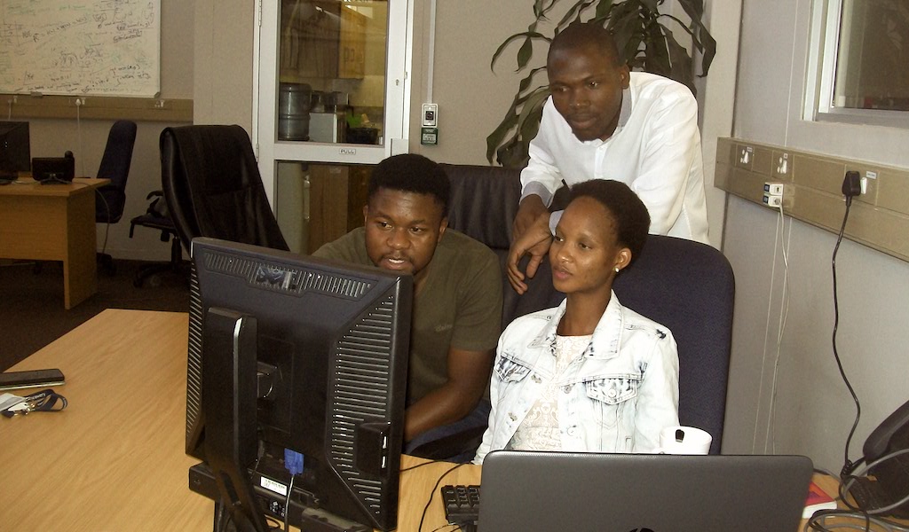
- Students: Thembelani Bheza (Wits), Mokuwe Windy (SMU) and Henneth Malatji (UL)
- Project Lead: Dr. Michael Burke
- Year: 2016/2017
Project Description
Project CoastCam is project that is focused on investigating the impact of climate change on the coast where severe weather conditions affect coastal activities. Climate change has a number of effects on the coast, with rising sea levels and flooding affecting coastal activities, causing delays at ports, damaging coastal infrastructure as well as having an impact on the ecosystem. These effects can be worsened by sand erosion so it is important to monitor sand movements over time. CoastCam’s team is designing a classification tool that will be used to label coastal image areas as either dry sand, wet sand or water. The tool will also allow researchers to label a small subset of image areas appropriately and then use a classifier that can label previously unseen images. The Coast-Cam’s dataset contained 25 453 images of Fish Hoek Shoreline in Cape Town captured from September 2014 to September 2015. During the 1st phase project CoastCam investigated classification algorithms and machine learning approaches to deal with images, prototyping a supervised classification system. In the 2nd phase of the project, these algorithms have been deployed to a dashboard that allows image labelling, trains a classifier, and returns a segmented image. Work on processing these segmented images to produce long term measurements of sand volume changes over time is ongoing. The figure below shows the CoastCam dashboard:
Student Remarks

The students learned new languages such as python, javascript, Django to develop a Web App and also learned to work as a team, in addition to machine learning concepts including decision trees, support vector machines, naive bayesian classifiers, supervised and unsupervised learning.
Author: Team + Nolihle Gulwa, B Tech Journalism, Walter Sisulu University.